Yesterday Fletch and I decided to go drive around Babeldaob, first of all because there’s some cool stuff way up north where we hadn’t ventured yet, and second of all because our car battery had slowly been dying due to constantly starting the car and then only driving half a mile. So nice long drive for the car, new territory to explore for us, it was a win win idea.
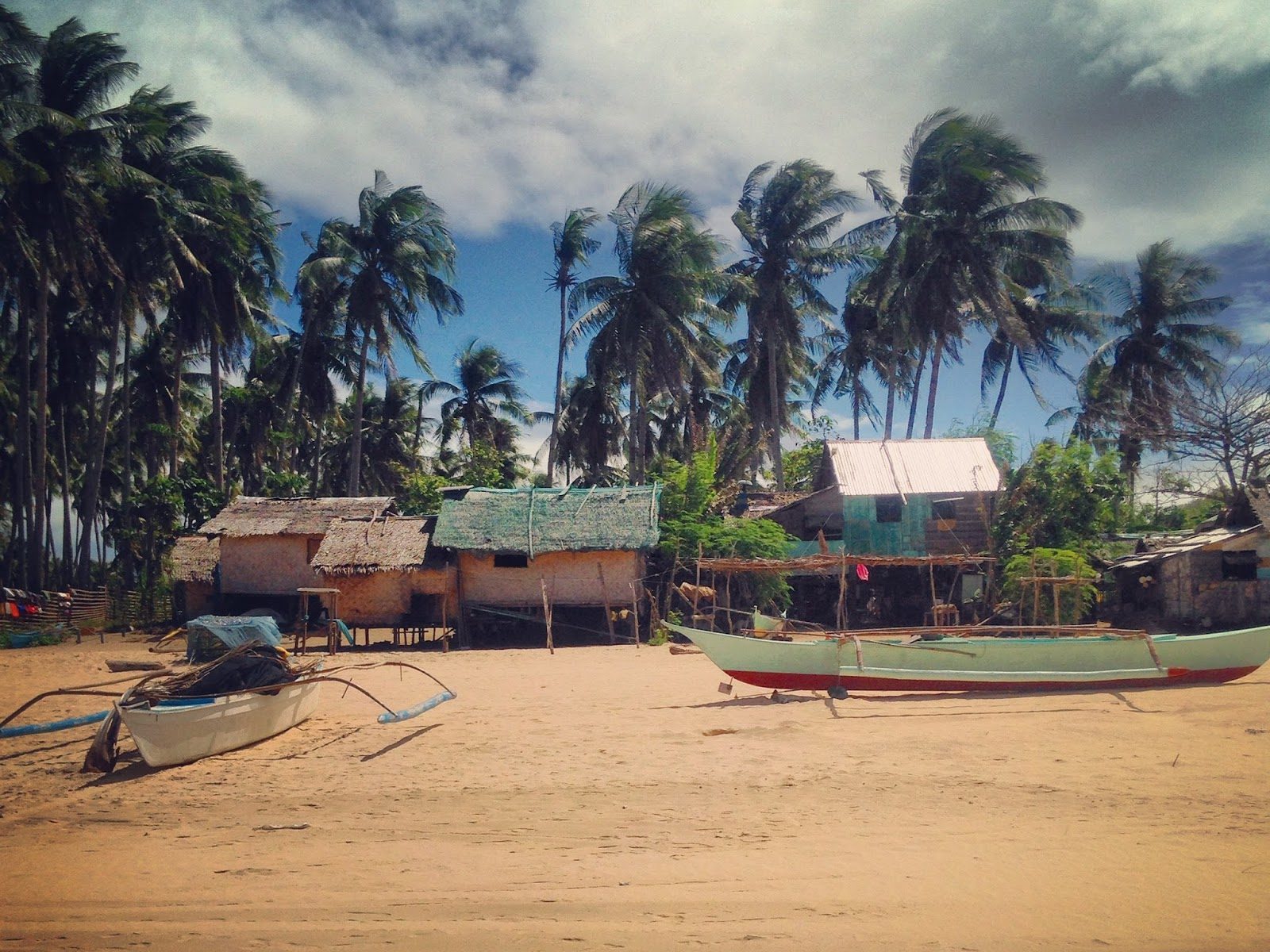
I’ve already described this several times, so sorry if I am beginning to sound like a broken record, but Babeldaob is the big island just over the bridge to the north of us. It is the view we get from our roof. There is a really nice compact road that was just constructed a few years back that runs around the entire island, and then up on the north side of the island there is a long, narrow point where another road breaks off and leads all the way to the northernmost end. The drive is beautiful as there is really nothing on Babeldaob, save for a few villages.


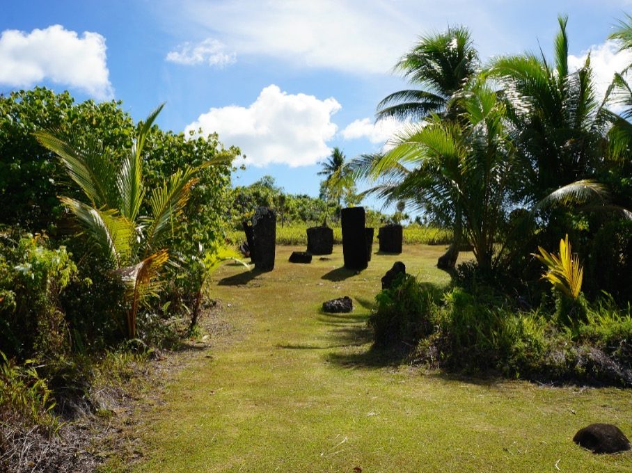
We continued on our way and found the sign for the stone monoliths. I had heard about these stone faces, (unexplained rocks sitting in a field like Stonehenge or the faces of Easter Island) and was eager to see some mysterious, ancient, historic relics. We paid the $2 fee for locals at a little hut, deserted save for three Palauan men on duty, and made our way down the grassy hillside.
The large stones we were about to see are scattered all over Palau, but the greatest concentration of them is in that field, called Badrulchau. 39 monoliths and 7 carved faces are there, some weighing up to 5 tons. No one knows why the stones are there, and no one knows why there are frightening, fanged faces carved into them.


The most puzzling finding about these stones is that they did not originate from Palau. The material used to build the stones, puddingstone andesite, was imported. Remember that Palau is a little island archipelago out in the middle of nowhere. Where could 5-ton rocks possibly be imported from in 100 AD?


The road ended at the northernmost point of Babeldaob and turned into a boat ramp leading into the water. A little convenience store was the only thing on the road, so we stopped for waters and some homemade local treat that claimed to be fried bananas. It tasted more like morsels of banana bread french toast.
We made our way back to the Japanese Lighthouse sign, and this time stopped in the ladies’ backyard to pay the $2 local fee. The dirt road led us up the side of a hill until we saw some sort of angel figurine poking out over a ridge to our left. We stopped to investigate and found a graveyard. I’m always fascinated when I stumble across graveyards in different counties. This one seemed a lovely place to rest, on a grassy hilltop under the bright sun and blue sky and the ocean just visible in the distance. Nothing was in the area so the only sound was that of the wind.
We continued up the little dirt path, the ride becoming bumpier and bumpier as we drove on, until on the right side of the road, a concrete wall nearly destroyed by bullet holes appeared quite suddenly. I hopped out of the car and hesitantly made my way up the hill, tripping over rubble as I went. This was no lighthouse. This was a Japanese outpost from the war.


I tried to look up some more information on the “Japanese Lighthouse” but couldn’t find much at all. Todai, the name of the place, is the Japanese word for lighthouse, so that’s why the sign tried to tell us we were going to a lighthouse. I also found out that it was a communications center. I scoured the internet and the only three sources of information I could find on the place all had the exact same paragraph written. I don’t know which was the original and which two were plagiarized (quite rude), but I suppose it’s my turn to copy it down:
“The Japanese occupied Palau from 1918 to 1945. Todai served as a Communications Center and a headquarters during World War II. Completed in 1936, Todai was built entirely by hand without the use of vehicles. Rocks and cement were carried from the nearby Ollei Port by Palauans from Ngarchelong and neighboring Ngaraard. From its amazing vantage-point, Todai offers a nearly 360 degree view of the adjacent reefs and waters. Today Todai stands as a testament to Palau’s varied political and cultural history.”